In the south of West Virginia, New River bisects the entire Appalachian mountain range, passing through a deep gorge that offers both white water rafting and climbing opportunities. The canyon is on average 300 metres (1,000 feet) deep and it is home to very diverse plant life. Since 1978 some 85 kilometres (53 miles) of the gorge have been protected as part of the National Parks system.
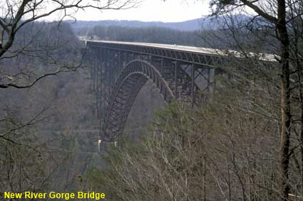
New River Gorge Bridge
North east of Fayetteville, Route 19 crosses over the New River at a height of 267 metres (876 feet) on a huge steel arch bridge. The New River Gorge Bridge has a span of 924 metres (3,030 feet) and when it opened in 1977 it was the longest steel arch bridge in the world. The opening of the bridge cut the journey time across the gorge from over 40 minutes to less than a minute.
New River Gorge National River
Home > US States > The South > West Virginia >
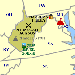
Click on Minimap to navigate
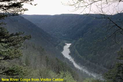
New River Gorge from Visitor Center
At the New River Gorge National River Canyon Rim Visitor Center you can get a view from the rim right down into the canyon. Unfortunately our visit in 2001 did not coincide with good weather so we did not get to see the scenery at its best. As a result the photographs are not up to the normal standard that you will find on 50 plus DC.
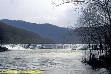
Sandstone Falls, New River, New River Gorge National River
Sandstone Falls are a maximum of just 8 metres (25 feet) high, but at this point the river is around 450 metres (1500 feet) wide with many islands in the middle. The falls can be viewed from a viewpoint on the canyon rim or via a road from Hinton that takes you along the bottom of the canyon to the falls where a boardwalk leads out to the islands and viewing platforms.
DLU110725



To move forwards or backwards through the West Virginia trail click the arrows above, or select your next destination on the Minimap.


© Mike Elsden 1981 - 2025
The contents of this page may not be reproduced in full or in part without permission

